

325 days, 13 countries, 65,000+ miles
My first retirement is over.
325 days ago I left a great job to spend time exploring the world. What I thought would be between 3 and 6 months turned into almost a full year – and an experience of a lifetime. Now, I have found a new career with Energy Circle – creating digital marketing plans for companies & organizations that work to build and outfit efficient and healthy buildings. It’s a bittersweet ending to an incredible year – as I would love to keep traveling (and will continue to some extent), but like all things, traveling costs money so I need to pay the bills…until my next retirement 🙂
So now, a full wrap-up, reflections and thoughts about this past year:
- 325 days (June 17, 2016 – May 7, 2017)
- 4 continents (North America, Europe, Oceania (Australia), Africa)
- 13 countries (US, Canada, Sweden, Denmark, Germany, Italy, France, Australia, New Zealand, South Africa, Namibia, Botswana, UK)
- 28 states (Maine, New Hampshire, Massachusetts, Connecticut, New York, New Jersey, Pennsylvania, Ohio, Indiana, Illinois, Iowa, South Dakota, Wyoming, Montana, Idaho, Washington, Oregon, California, Nevada, Arizona, Utah, Colorado, Kansas, Missouri, West Virginia, Kentucky, Virginia and Maryland.)
- 14,000+ miles of road trips (doesn’t include every day driving while home)
- 65,000+ miles of total travel (estimate including air travel)
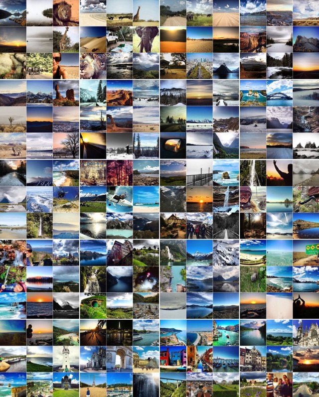
- 9,500+ photos (some better than others)
Favorites:
- Country: New Zealand. When someone asks what my favorite place has been there is no question, and no hesitation when I answer, New Zealand. From the people to the geological features, New Zealand was absolutely incredible. Africa would also go on my favorites list, but it still doesn’t come close to how much I loved New Zealand.
- State: Utah – I would have loved to spend more time in Utah – specifically the Moab area!
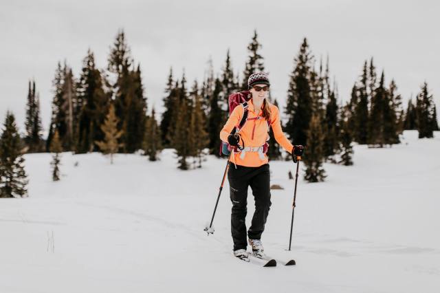
- Activity: Bungee Jumping. Such a rush (and surprise! I did it in New Zealand) as well as hiking all over!
- Airport: Heathrow, London. This may be just because there were clean showers that were welcome between 10+ hour flights!
- Border Crossing/Immigration: Dobe border crossing from Botswana into Namibia. We had to track down officials for both countries to get our passports stamped! The border was so remote that they only get one car every 2-3 days!
Least Favorites:
- Country: None. There was something amazing about every country I visited – and I would revisit every single one!
- State: Again, I don’t know if I have a least favorite state!
- Activity: Going to drug stores in Australia. Unfortunately I was sick through my entire travels in Australia so frequented the drug store to get medicine! They don’t sell over-the-counter cold medicine so I had to speak to a pharmacist every single time. Plus, they only provide around 4 days worth at a time, so I was going every 4 days!
- Airport: LA. I didn’t have to go far within the airport, but it was crowded and my terminal didn’t have many options for grabbing a bite to eat!
- Border Crossing/Immigration: Boston/Logan airport. I don’t think I spent less than an hour in this line in any of my travels this past year – and at one point the line was so long people couldn’t even get off the plane!
I learned so much during this time, and if I were to share anything with you it would be that if you need a break, take it. Time away from the office, a desk, or your home can be extremely refreshing and give you greater perspective and a better idea of who you are. I hope that in another 5-6 years, I may be able to retire again for another year. My advice to everyone is to take risks, get outside your comfort zone and never stop traveling. Whether it’s across the globe or across your town – there is something new and exciting around every corner!
4 Hikes and the Holidays
I’ve been home for about 2 weeks now, and though I’ve been silent on the blog front, there has been a lot going on! Those who follow my Instagram account (amyirish1) may have seen some posts from recent hikes. In addition to those, I’ve been thinking about and trying to figure out my next steps.
I’m going to stay in the New England area through the holidays…and go to warmer climates and get my scuba certification in January. So until then… I need to find things to do! I’ve booked Airbnbs for a road trip the week starting the day after Thanksgiving. I’ll drive to New York to visit my old college roommates, and then head north for a couple days to do some hiking in the Catskills. I’ll spend a final day in the Burlington, VT area for another hike before heading home.
I’ve found myself easily bored since I’ve been home, so I’ve done some pretty awesome hikes more locally. More locally I mean within a two hour drive. I took Blythe’s dog Pua (Blythe is my brother’s girlfriend) up Pleasant Mountain in Bridgton last weekend. It was a nice short hike that Pua could handle. It took less than two hours and with the leaves covering rocks, it was a little tricky coming down with Pua pulling!


On Thursday I drove a couple hours to Mt. Major in New Hampshire. I’d say it was a comparable hike to Pleasant Mountain and had some great views of Lake Winnipesaukee.


Friday I went to the border of Maine and New Hampshire to Blueberry Mountain. I think I was the only person on the mountain – I didn’t see anyone else. It was about 4 miles up and back with views of the surrounding mountains. The trails were not very well marked, so at times I had to stop and try to figure out which direction was which.
I downloaded the maps.me app on my iPhone before I started traveling and it has been a lifesaver (you can download maps of regions/states for offline directions). It has quite a few trail maps in addition to the standard road maps and I’ve found it has some additional trails/roads that Google Maps doesn’t have. This came in very handy when there was no visible path/markers indicating the trail!


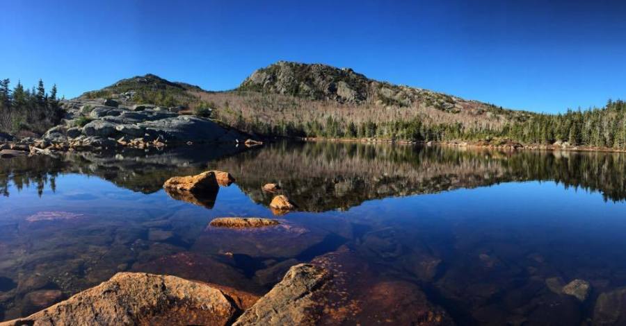
Saturday I woke up early and drove almost two hours to hike Tumbledown in western Maine. It was a gorgeous day (all these days have been mid-50 degree weather). I was the second car in the lot (and it turns out the other car were people camping up there the night before). I, once again, had the mountain to myself – at least on the way up! Tumbledown was incredible. I took the Brook trail up and did the connector to the saddle of the western peak. It was more challenging than the other hikes, which was what I was looking for with some rock scrambling. It was about 4.5 miles roundtrip with waterfall after waterfall up to Tumbledown Pond. I then kept going to the east peak for views down at the pond and of the surrounding mountains. Maine is truly breathtaking. This has been my favorite hike so far.


I was expecting the hike to take about 4.5 hours (the sign said the 3 mile hike would take 4 hours), but I was back to my car in just 3 (I’ve been looking for some 4-4.5 hour hikes). I was so happy I got an early start too, because by the time I got to the top, a number of other people were at the pond and by the time I got back to my car the lot was full!

After the dusting of snow last night (well maybe a couple inches) we’ll be prepping to host Thanksgiving at my brothers house this year. Enjoy the holiday!!
